Drvenik Veli
Marina near Drvenik Veliki
Latitude
43° 27’ 4.4” NLongitude
16° 8’ 36.3” EDescription
Drvenik Veli, small island harbor with few berthing possibilities. The protective pier on the north shore has on the inside front 2.9m and about 1.8m further decreasing towards the shore. Here is also a restaurant with places at the quay, on low water depths and ztws. own mooring buoys lie out here. In the southern corner of the harbor is the ferry dock, behind it you can anchor (WT 5-6m). On the shore is also the island store in the side street. The anchoring ground in the bay does not hold very well, but in front of the outer pier you can anchor well on the northern shore. Anchoring is prohibited in the western bay - there is a ground cable here. On the east side of the island you can anchor well in the bay between the two islands, there is also a restaurant. The island was settled only in the 15th year. and lives from agriculture and today largely from tourism, but you can spend a tranquil vacation here.
Marina Information
Contact
Surroundings
Restaurant
Grocery
Comments
You can add comments with the NV Charts App (Windows - iOS - Android - Mac OSX).
You can download the current version at nvcharts.com/app.
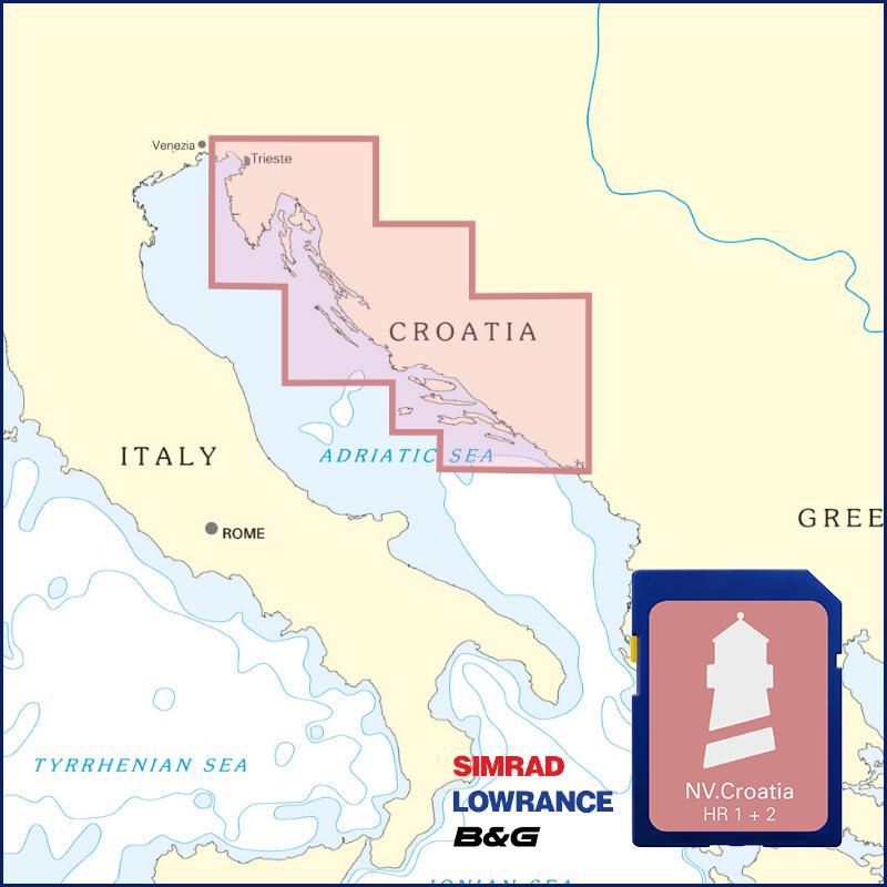
Buy nv charts covering this place Clicking one of the products will open the nv charts shop.
Places nearby
Related Regions
This location is included in the following regions of the BoatView harbour guide:


No comments or ratings have been added to this POI.