Rogac
Marina near Rogač
Latitude
43° 23’ 50.5” NLongitude
16° 18’ 6.4” EDescription
Rogač is still today the most important port on the island. The bay - Luka Rogač - is divided into smaller bays - Uvala Kašjun, Bocac, Luka Rogač, Banje and on the eastern shore the Uvala Zustava.
The bay Kašjun is the northernmost on the western shore with a vacation camp and is closed off with a buoy chain as a swimming bay in the inner part. On the shore there is a good anchorage located directly in front of a beautiful coniferous forest.
Before Luka Rogač, the middle bay, lies on the small peninsula the only ferry dock on the island.
South of the ferry dock is the gas station (WT 4m). The village is on the north side of the bay with some small jetties, the first jetty at the harbor office has 3.2m water depth and at the cafe is only 1.5m WT. There is a bakery store here for the most important groceries.
On the opposite shore are the charter companies on the quay with 2m water depth.
After that begins the bathing beach of the village and goes into the Uvala Banje the end of the bay, here is only a jetty and in front of the beach to anchor it is unprotected Also on the further eastern shore of the Uvala Rogač is no longer a protected anchorage.
Marina Information
Contact
Surroundings
Restaurant
Imbiss
Atm
Fuel
Grocery
Public Transport
Garbage
Comments
You can add comments with the NV Charts App (Windows - iOS - Android - Mac OSX).
You can download the current version at nvcharts.com/app.
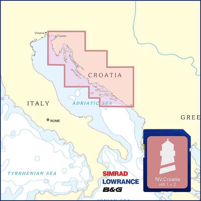
Buy nv charts covering this place Clicking one of the products will open the nv charts shop.
Places nearby
Related Regions
This location is included in the following regions of the BoatView harbour guide:


No comments or ratings have been added to this POI.