Fouras - Port de la Fumée
Marina near Fouras
Latitude
46° 0’ 15.6” NLongitude
1° 52’ 54.1” WDescription
Fouras is a peninsula on the northern side of the Charente Bay.
The village is known for its beautiful beaches and for Fort Boyard,
an island with an ancient historic fort that lies opposite
Fouras.
NV Cruising Guide
Navigation
The harbour is located east of the Point de l'Aiguille. The entrance lights are on the Smoke Pier. It is a deep water port.
Berths
There are 59 berths. The reception is on the number 66 mooring.
Surroundings
You can find many restaurants in the center of Fouras.
Marina Information
Contact
| Phone | +33 621380212 |
Surroundings
Garbage
Comments
You can add comments with the NV Charts App (Windows - iOS - Android - Mac OSX).
You can download the current version at nvcharts.com/app.
Buy nv charts covering this place Clicking one of the products will open the nv charts shop.
-
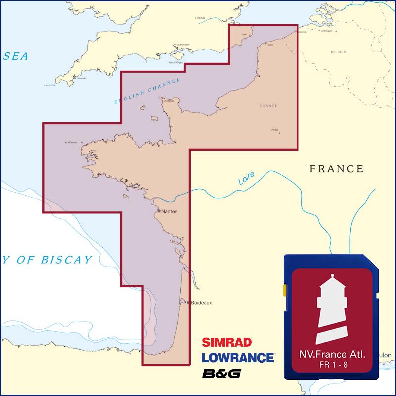
 NV Charts France FR8 - Île d'Oléron à San Sebastian NV Verlag / NV Charts64,99 € incl. VAT, excl. Shipping
 -
Places nearby

Related Regions
This location is included in the following regions of the BoatView harbour guide:
No comments or ratings have been added to this POI.