Helgoland - Binnenhafen gebaggert
Navinfo near Helgoland (Unterland)
Latitude
54° 10’ 41.9” NLongitude
7° 53’ 23.1” EInformation
| Valid from | 06.05.2022 |
The water depths shown in the Helgoland inland harbor are not up to
date. The harbor was dredged to 3m in 2021.
As soon as current depth data is available, the map display will be
adjusted via update service.
Comments
You can add comments with the NV Charts App (Windows - iOS - Android - Mac OSX).
You can download the current version at nvcharts.com/app.
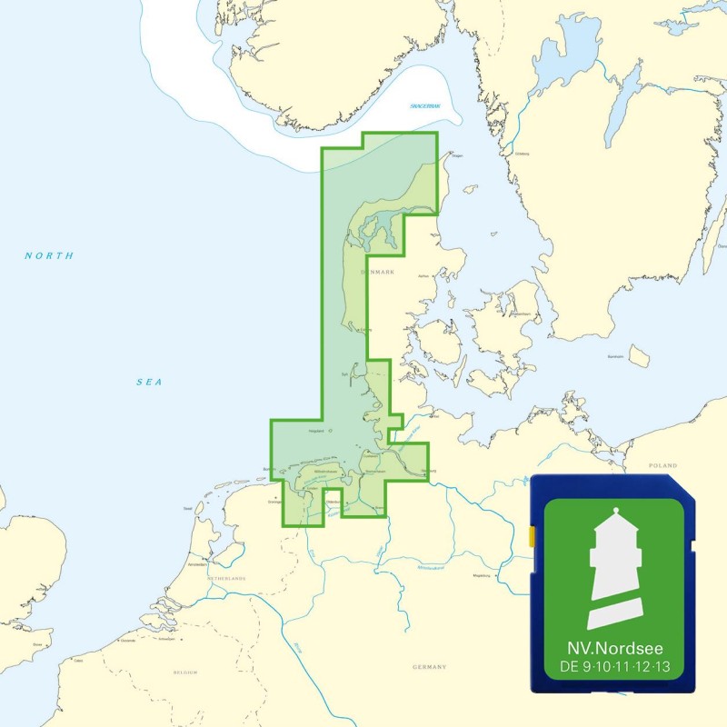
Buy nv charts covering this place Clicking one of the products will open the nv charts shop.
Places nearby
Related Regions
This location is included in the following regions of the BoatView harbour guide:


No comments or ratings have been added to this POI.