Ursholmen
Marina near Långegärde
Latitude
58° 50’ 3.8” NLongitude
10° 59’ 35.6” EDescription
Natural harbour
NV Cruising Guide
Navigation
The safest approach is through the sound, which is to the west of the archipelago with the clearly visible notice board (cable). You can also go through the eastern sound, but then you need good light and have to keep a lookout.
Berths
You lie before stern anchor at 2.5 - 4 m water depth at the places marked in the sea chart, where mostly rock hooks are available. Here you have very good protection from swell with wind from directions between south and west. Only with north-west wind it can become a little restless. The wind protection is also worse with west to north-westerly winds, but still sufficient. The anchoring ground is acceptable.
Surroundings
Nature reserve with interesting geological formations. In some places there are powerful "diabasgångar". Such works are called "devil's furrows". When you see them on Ursholmen, you understand why. Diabases (greenstone) were mined on Inre Ursholmen. Because of its location in the outermost archipelago, dramatic scenes can take place here in hard weather. The former lighthouse keeper's dwelling is well preserved and worth a visit. But this should be done with distance, because it is privately owned. Ursholmen's beacons were built to replace Koster's fireplace. The lighthouse of Koster with its 64 m above zero aroused the protest of the population already when it was built. They thought that the beacon could be named a star. Eventually the bureaucrats came to their senses and decided that Ursholmen should replace the Koster beacon. The position lights of Nord-Koster were dismantled and moved to Ursholmen's twin tower. At the lighthouse there is a small museum, which is open in summer. There is a dry toilet at Yttre Ursholmen.
Marina Information
Contact
Comments
You can add comments with the NV Charts App (Windows - iOS - Android - Mac OSX).
You can download the current version at nvcharts.com/app.
Buy nv charts covering this place Clicking one of the products will open the nv charts shop.
-
 NV Atlas Kartenkoffer Kattegat Serie 1, 2, 3, 5.1, 5.2 NV Verlag / NV Charts269,00 € incl. VAT, excl. Shipping
 -
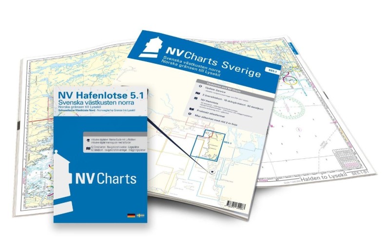 NV Charts Sverige SE 5.1 - Svenska Västkusten Norra NV Verlag / NV Charts69,90 € incl. VAT, excl. Shipping
 -
-

Places nearby

Related Regions
This location is included in the following regions of the BoatView harbour guide:
No comments or ratings have been added to this POI.